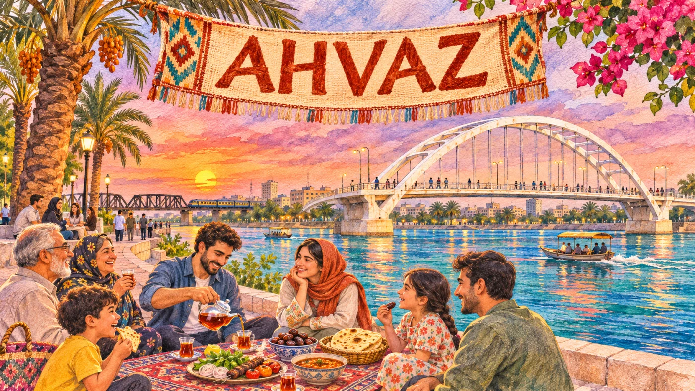
Ahvaz is the capital of Khuzestan province in south-western Iran, a city of about 1.18 million people built on both banks of the Karun, the country’s largest river by volume. A Sasanian foundation that faded in the Middle Ages, it grew again from the 1880s as a river port and then as the administrative centre of Iran’s oil industry, and it is the natural base for visiting Susa, Chogha Zanbil and Shushtar.
| Persian name | اهواز (Ahvâz) |
|---|---|
| Province | Khuzestan (capital) |
| Population | 1,184,788 (city, 2016 census, Statistical Centre of Iran) |
| River | Karun, which runs through the middle of the city |
| Elevation | About 20 m above sea level |
| Climate | Hot desert: long, extremely hot summers, mild winters, dust storms |
| Languages heard | Persian, Khuzestani Arabic, Bakhtiari and other Luri dialects |
| Distance | About 800 km south-west of Tehran by road; about 130 km north of Abadan |

From Hormizd-Ardashir to Suq al-Ahwaz
The lowlands of Khuzestan were the heart of ancient Elam, and the region’s older name, Susiana, comes from Susa, about 110 km north of Ahvaz. The city itself is usually identified with Hormizd-Ardashir, a town founded or refounded by the first Sasanian king, Ardashir I, in the early third century CE at a point where the Karun could be crossed and dammed.
Arab geographers called it Suq al-Ahwaz, “the market of the Khuz”, after the people who gave the province its name; Ahwaz is an Arabic plural of Huz or Khuz. In the early Islamic centuries it was a prosperous provincial capital. A weir across the Karun raised the water for irrigation, and the surrounding plain grew sugar cane, which made Khuzestan one of the main sugar-producing regions of the medieval Islamic world.
That prosperity did not last. Damage to the weir, shifting river channels, malaria and insecurity hollowed the town out, and by the eighteenth century travellers described a large field of ruins with a small village beside it. Much of Khuzestan’s urban life moved to Dezful and Shushtar, upstream.
A river port, then an oil town
Modern Ahvaz began in the late Qajar period. In 1888 the Karun was opened to foreign steamers, and the British firm Lynch Brothers ran boats from Mohammareh (now Khorramshahr) up to the rapids at Ahvaz, where goods were carried round the rocks and loaded onto smaller boats for Shushtar. A new settlement grew up beside the rapids, first called Bandar-e Naseri after Naser al-Din Shah. The old name came back in the twentieth century.
Oil changed the scale. After the 1908 strike at Masjed Soleyman, pipelines ran across the province to the refinery at Abadan, and Ahvaz, in between, became the regional headquarters of the oil company. The Trans-Iranian Railway reached it in the 1930s and crossed the Karun here, and during the Second World War Ahvaz was a stage on the Allied supply route that carried American and British matériel north from the Persian Gulf to the Soviet Union. Today the National Iranian South Oil Company is based in the city, and some of Iran’s largest oil fields lie under and around it.
Ahvaz in the Iran–Iraq War
When Iraq invaded in September 1980, its armoured columns pushed to within a few dozen kilometres of Ahvaz, and the city was shelled and bombed repeatedly while Khorramshahr, further south, fell after a long siege. Ahvaz served as the main rear base for the Iranian counter-offensives of 1981 and 1982 that pushed Iraqi forces back and retook Khorramshahr. The war’s story is told in more detail in the Iran–Iraq War: causes and the Iraqi invasion and Khorramshahr: fall and liberation.
The city of bridges
The Karun divides Ahvaz into an older west bank and an eastern side, and the bridges that join them are the city’s best-known sight. Locals count well over a dozen crossings.
The White Bridge
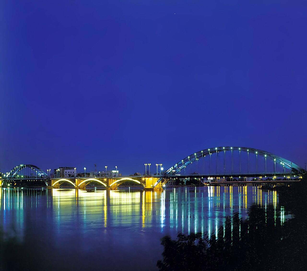
The White Bridge, پل سفید (Pol-e Sefid), is a steel arched suspension bridge about 500 m long, built in 1935 and 1936 and opened in November 1936. It is the image on most postcards of the city, and at night it is lit along its length. It is now closed to cars and open to people on foot.
The Black Bridge and the others
The Black Bridge, پل سیاه (Pol-e Siah), carries the Trans-Iranian Railway across the river and dates from the railway’s construction in the 1920s and 1930s. Newer road bridges, several of them numbered rather than named, have been added as the city spread east. The riverside parks between the bridges, especially on summer evenings when the air cools a little, are where much of the city comes out to walk, picnic and fish.
Heat, dust and the people of Ahvaz
Ahvaz is one of the hottest large cities in the world. Summer days regularly pass 45°C, and readings above 50°C are not unusual in July and August. In spring and summer, dust storms blowing from Iraq and from dried wetlands nearby can close schools and offices; in a 2011 World Health Organization survey of urban air quality, Ahvaz recorded the highest level of coarse particulate matter (PM10) of the cities measured. Winters are mild, and November to March is the comfortable time to visit.
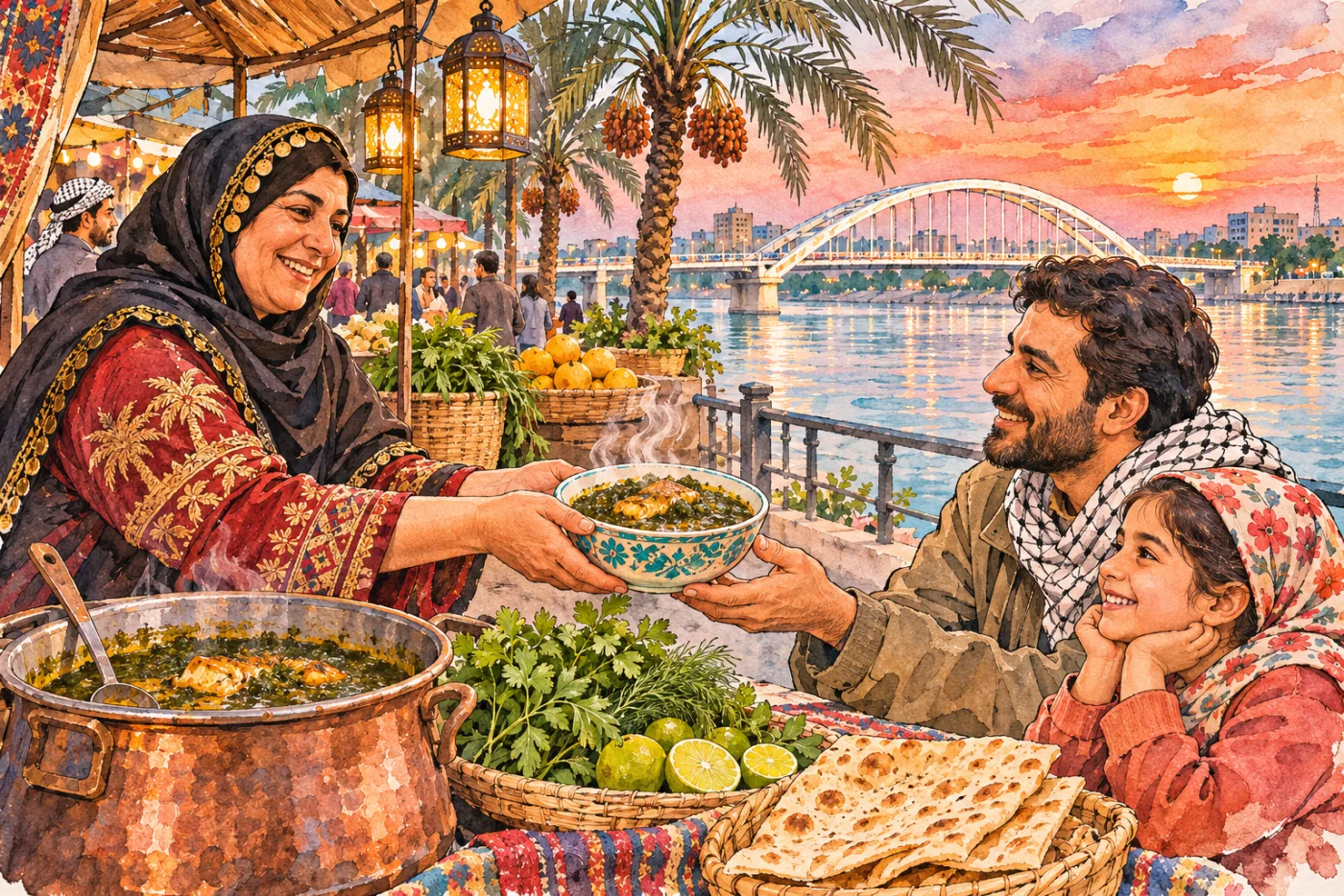
The population is mixed. Persian is the common language, and the city has large Arabic-speaking and Bakhtiari Lur communities, along with migrants from across Iran who came to work in oil, and it is one of the main homes of Iran’s small Mandaean community, followers of John the Baptist who traditionally live along the rivers of Khuzestan. That mixture shows in the food: Arab-style dishes such as ghalieh mahi (fish in a sour tamarind and herb sauce), and a street-food culture known across Iran for its falafel and sambuseh (samosas) sold from stalls in the evening. More on the province’s Arab and Lur communities is on the page about the people of Iran.
Day trips from Ahvaz
The main reason most visitors come to Ahvaz is the cluster of UNESCO sites to the north, all within about two hours by road:
- Chogha Zanbil, the Elamite ziggurat built around 1250 BCE by Untash-Napirisha.
- Susa, with the palace of Darius, the French castle built for the excavators, and the shrine of the prophet Daniel in the modern town of Shush.
- Shushtar, whose Sasanian-era weirs, canals and water mills are listed as a hydraulic system.
To the south, the oil port of Abadan and its neighbour Khorramshahr can also be reached in a day.
Getting there
Ahvaz has an airport with flights from Tehran and other large cities, and it is on the railway from Tehran to Khorramshahr and the Persian Gulf. Long-distance buses run from most provincial capitals. Within the city, taxis and ride-hailing apps are the practical way to get around. For timetables, entry requirements and safety, check current official information and your own government’s travel advice.
Persian words from this page
| اهواز | Ahvâz | Ahvaz |
| کارون | Kârun | the Karun river |
| خوزستان | Khuzestân | Khuzestan, “land of the Khuz” |
| پل | pol | bridge |
| سفید | sefid | white |
| سیاه | siâh | black |
| نفت | naft | oil |
| گرما | garmâ | heat |
Sources and further reading
- Encyclopaedia Iranica, “Ahvāz ii. The Modern City” (iranicaonline.org) and “Ahvāz iii. Monuments”.
- Encyclopaedia Iranica, “Kārun River”.
- Statistical Centre of Iran, General Population and Housing Census 2016 (1395).
- Stephanie Cronin (ed.), The Making of Modern Iran: State and Society under Riza Shah, Routledge, 2003, on the railway and the oil province.
- World Health Organization, Urban outdoor air pollution database, 2011.
Want to learn Persian? Get the free Starter Pack
Get the 14-page printable Starter Pack (all 32 letters, a 7-day reading plan, 100 core words and 20 survival phrases) and a short 5-email course. Free.
More in Cities of Iran
- Tehran: Iran’s Capital
- Mashhad
- Isfahan
- Shiraz
- Tabriz
- Yazd
- Kashan
- Kerman
- Hamadan
- Qom
- Ahvaz
- Rasht
- Kermanshah
- Urmia
- Ardabil
- Zanjan
- Qazvin
- Sanandaj
- Khorramabad
- Bandar Abbas
- Bushehr
- Zahedan
- Birjand
- Gorgan
- Sari
- Semnan
- Arak
- Ilam
- Yasuj
- Shahr-e Kord
- Bojnurd
- Karaj
- Abadan and Khorramshahr
- Kish Island
- Qeshm Island
- Hormuz Island
- Masuleh
- Abyaneh
- Kandovan
- Bam
- Neyshabur (Nishapur)
- Shush (Susa) Today