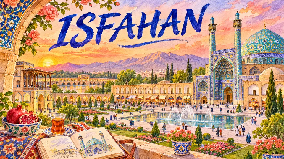
Isfahan (اصفهان, Esfahân) is the city Shah Abbas I made the capital of Safavid Iran in 1598, and the place where Persian Islamic architecture reached its most famous form. Its great square, its mosques and its bridges over the Zayandeh Rud earned it the rhyming boast Esfahân nesf-e jahân, “Isfahan is half the world”. It is Iran’s third-largest city, with 1,961,260 people at the 2016 census.
| Persian name | اصفهان (Esfahân) |
|---|---|
| Province | Isfahan (capital) |
| Population | 1,961,260 (city, 2016 census, Statistical Centre of Iran) |
| Elevation | About 1,570 m |
| River | Zayandeh Rud |
| Capital of | The Seljuks (11th–12th centuries) and the Safavids (1598–1722) |
| UNESCO sites | Naqsh-e Jahan Square (1979); Masjed-e Jame (2012) |
Before the Safavids: Jay, Yahudiyya and the Seljuks
Isfahan grew from two separate settlements on the north bank of the Zayandeh Rud. One was Jay, a walled town of the Sasanian period. The other, a short distance away, was known in early Islamic times as Yahudiyya, “the Jewish town”, because of its large Jewish community; Jewish tradition links its founding to exiles of the Babylonian period. The two merged into one city in the early Islamic centuries.
Isfahan first became a royal capital in the 11th century. The philosopher and physician Avicenna spent his last productive years here at the court of the Kakuyid ruler Ala al-Dawla. Then the Seljuk Turks took the city, and under Sultan Malik Shah (reigned 1072–1092) it was the heart of an empire stretching from Central Asia to Anatolia. The great monument of this age is the Friday Mosque, the Masjed-e Jame, with two Seljuk domes that are among the masterpieces of brick architecture. See the Seljuk domes of Isfahan’s Jameh Mosque.
The following centuries were harder. Isfahan suffered under the Mongols, and in 1387 Timur punished a revolt by massacring much of the population; chroniclers describe towers built from the skulls of the dead, and give tens of thousands of victims. The episode is covered on our page about Timur’s campaigns in Iran.
Shah Abbas and “half the world”
Shah Abbas I moved his court from Qazvin to Isfahan in 1598. Rather than rebuild the crowded old centre around the Friday Mosque, he laid out a new city to the south-west. Its spine was the Chahar Bagh, a long avenue of gardens and pavilions running down to the river. Its centrepiece was Naqsh-e Jahan Square, roughly 560 metres long, used for markets, polo and royal reviews.
Around the square stand four buildings: the Shah (Imam) Mosque on the south side, the Sheikh Lotfollah Mosque on the east, the Ali Qapu palace gateway on the west, and the Qeysariyeh portal into the bazaar on the north. Each has its own page: the Shah Mosque, the Sheikh Lotfollah Mosque, and Ali Qapu. For an overview of the square, read our post on Naqsh-e Jahan.
The city plan, the political reasons behind it and the European travellers who described it are told on our history page Isfahan: “Half the World”. Later Safavid kings kept building: Abbas II added the Chehel Sotoun palace (see our post on Chehel Sotoun) and Shah Soleyman the Hasht Behesht pavilion.

The river and its bridges
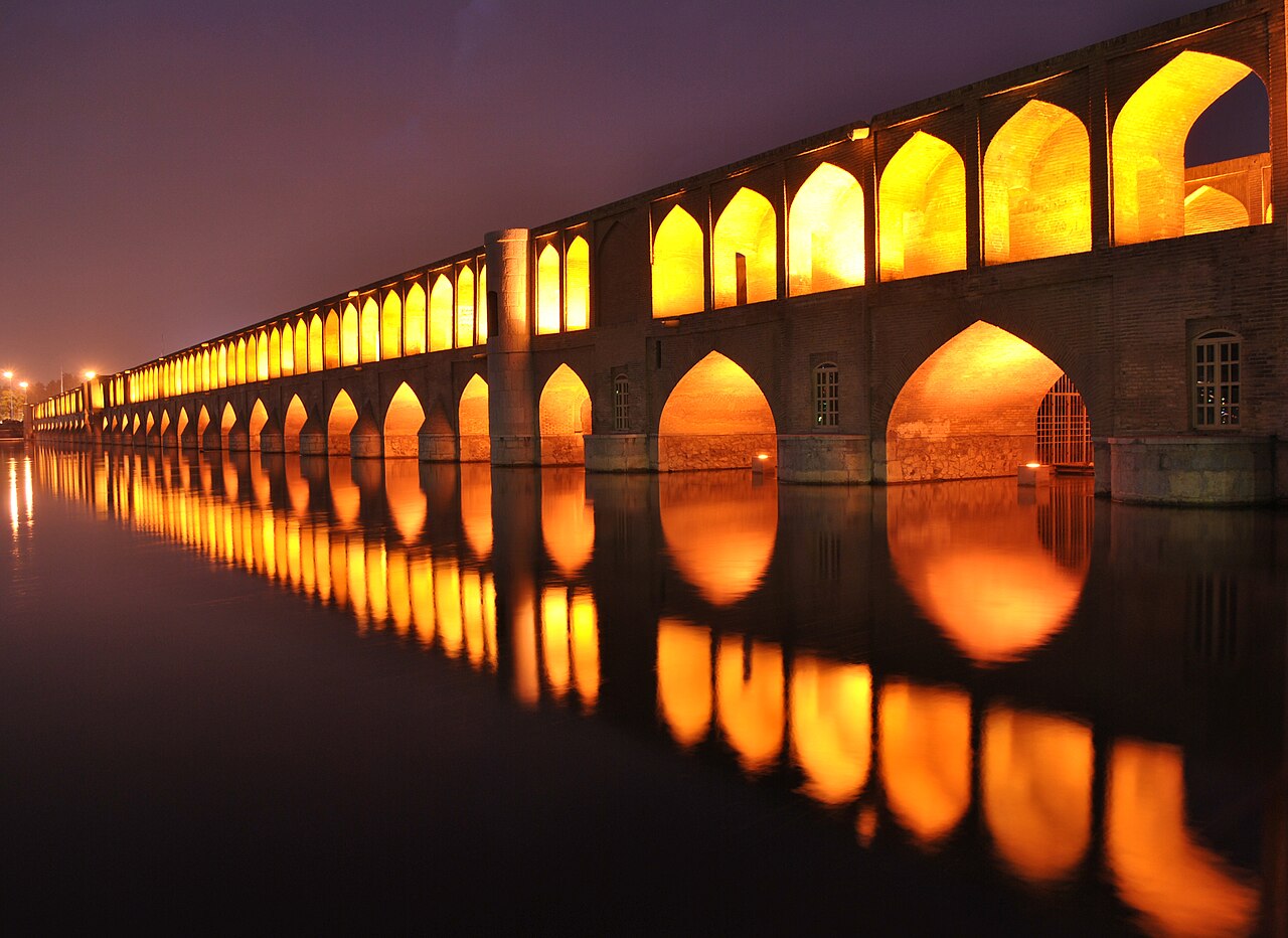
The Zayandeh Rud (زایندهرود), “the life-giving river”, rises in the Zagros and dies in the Gavkhuni marsh east of the city. Safavid engineers spanned it with bridges that also served as dams, promenades and places to sit. Si-o-se Pol, built around 1600 by Abbas’s general Allahverdi Khan, has 33 arches. Khaju Bridge, built for Abbas II around 1650, has a central pavilion where the shah could watch the water.
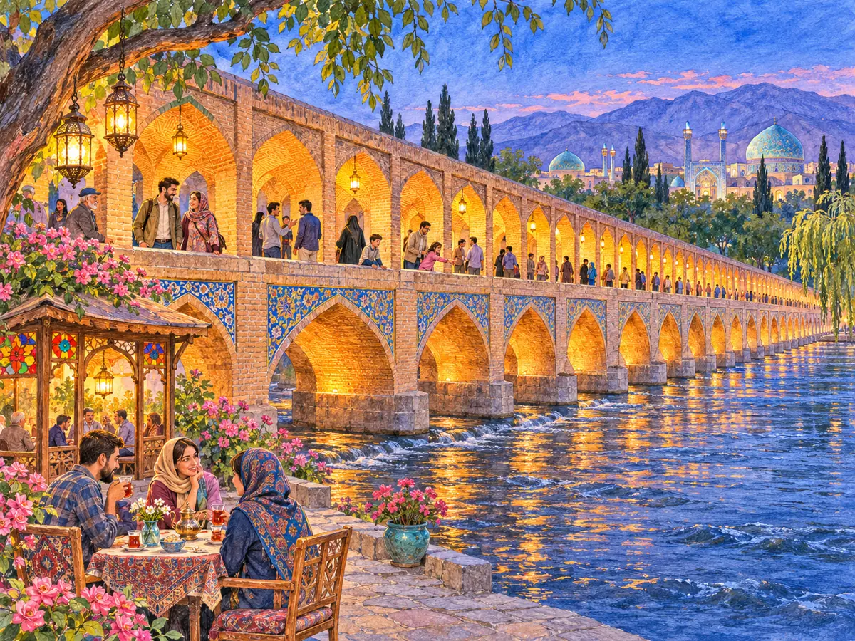
Since the 2000s the river has been dry for much of the year, because of drought and heavy use of its water upstream for farms and industry. Water is released at certain times, and when it flows, crowds return to the bridges in the evening. Our page on Zayandeh Rud and Isfahan’s bridges explains the water dispute and the engineering.
New Julfa: the Armenian quarter
In 1604–1605, during his war with the Ottomans, Shah Abbas forcibly moved the Armenian population of Julfa on the Aras river to Isfahan. They were settled south of the Zayandeh Rud in a new suburb called New Julfa (جلفا, Jolfâ). Armenian merchants soon controlled much of Iran’s silk trade with Europe and India, and they were allowed to build churches. The best known is the Vank Cathedral, completed in the 1660s, whose plain brick exterior hides walls covered in paintings of biblical scenes. See the Vank Cathedral page.
Julfa is still the centre of Iran’s Armenian community, and today its streets of cafés and small shops are among the liveliest in the city.
The fall of the capital and modern Isfahan
Safavid Isfahan ended with the Afghan siege of 1722, when the city starved for months before Shah Soltan Hoseyn surrendered to Mahmud Hotaki. See The siege and fall of Isfahan. The capital never returned. In the 20th century Isfahan became an industrial city, with textile mills, a steel plant and an oil refinery, and it is today the main city of central Iran.
Isfahan is also known across Iran for its crafts. The bazaar and the arcades of the square sell minâkâri (enamel on copper), khâtam (inlay), engraved metalwork, block-printed cotton called qalamkâr, and carpets. The city’s sweet speciality is gaz, a nougat made with pistachios. UNESCO named Isfahan a Creative City for crafts and folk art in 2015.
Getting there and getting around
Isfahan lies about 440 km south of Tehran by road. The city’s airport has domestic flights and some international routes, and trains run from Tehran and to Yazd, Kashan and Shiraz. Most sights cluster in two areas: the square with the bazaar and Friday Mosque to its north, and the river, Chahar Bagh and Julfa to the south. They are linked by a metro line that opened in 2015, by buses and by taxis, and the riverside paths make walking pleasant in spring and autumn. Day trips go to Abyaneh and Kashan to the north and the dunes of Varzaneh to the east.
Check opening times and entry rules with official sources, and follow your own government’s travel advice.
Persian words from this page
| اصفهان | Esfahân | Isfahan |
| نصف جهان | nesf-e jahân | half the world |
| زایندهرود | Zâyande Rud | Zayandeh Rud (the “life-giving river”) |
| سیوسهپل | Si-o-se Pol | bridge of thirty-three (arches) |
| چهارباغ | Chahâr Bâgh | “four gardens”, the Safavid avenue |
| میناکاری | minâkâri | enamel work |
| گز | gaz | Isfahan nougat |
Sources and further reading
- Encyclopaedia Iranica, “Isfahan” (multi-part article on history, monuments and the Armenian community of New Julfa).
- Sussan Babaie, Isfahan and Its Palaces: Statecraft, Shi’ism and the Architecture of Conviviality in Early Modern Iran (Edinburgh University Press, 2008).
- Wilfrid Blunt, Isfahan: Pearl of Persia (1966).
- UNESCO World Heritage Centre, Meidan Emam, Esfahan and Masjed-e Jāmé of Isfahan.
- Statistical Centre of Iran, National Population and Housing Census 2016 (1395).
Want to learn Persian? Get the free Starter Pack
Get the 14-page printable Starter Pack (all 32 letters, a 7-day reading plan, 100 core words and 20 survival phrases) and a short 5-email course. Free.
More in Cities of Iran
- Tehran: Iran’s Capital
- Mashhad
- Isfahan
- Shiraz
- Tabriz
- Yazd
- Kashan
- Kerman
- Hamadan
- Qom
- Ahvaz
- Rasht
- Kermanshah
- Urmia
- Ardabil
- Zanjan
- Qazvin
- Sanandaj
- Khorramabad
- Bandar Abbas
- Bushehr
- Zahedan
- Birjand
- Gorgan
- Sari
- Semnan
- Arak
- Ilam
- Yasuj
- Shahr-e Kord
- Bojnurd
- Karaj
- Abadan and Khorramshahr
- Kish Island
- Qeshm Island
- Hormuz Island
- Masuleh
- Abyaneh
- Kandovan
- Bam
- Neyshabur (Nishapur)
- Shush (Susa) Today