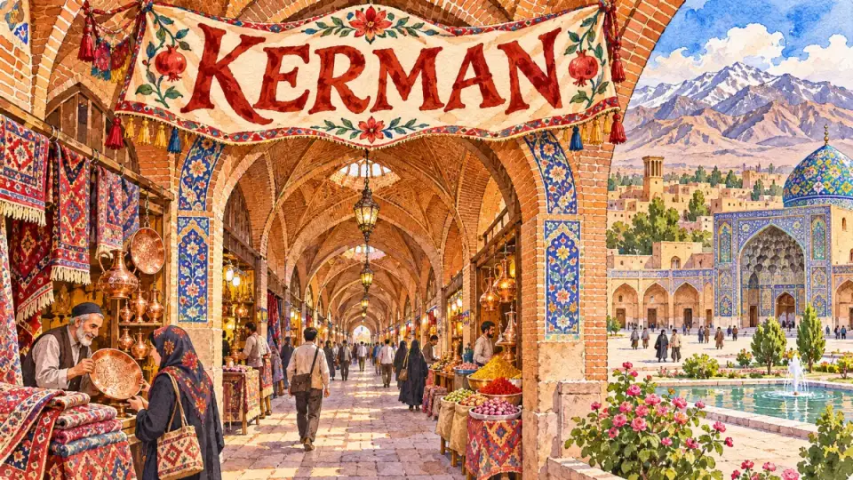
Kerman (کرمان, Kermân) is the capital of Kerman province in south-east Iran, a high desert city known for its long covered bazaar, the Safavid-era Ganjali Khan complex, its carpets and the pistachios grown on the plains around it. It is also the gateway to the Dasht-e Lut, Bam and Mahan. At the 2016 census the city had 537,718 inhabitants.
| Persian name | کرمان (Kermân) |
|---|---|
| Province | Kerman (capital) |
| Population | 537,718 (city, 2016 census, Statistical Centre of Iran) |
| Elevation | About 1,750 m |
| Known for | Bazaar, Ganjali Khan complex, carpets, pistachios, cumin |
| Nearby | Mahan and Shazdeh Garden (about 35 km), Rayen, Bam, the Kaluts of Shahdad and Dasht-e Lut |

A Sasanian foundation on the edge of the desert
Medieval sources say that the first king of the Sasanian dynasty, Ardashir I, founded a city here in the 3rd century CE, often named Veh-Ardashir or Bardasir. On the bare hills east of the modern city stand the ruined mud-brick fortresses of Qal’eh Ardashir and Qal’eh Dokhtar, traditionally linked to that period. The Muslim Arabs took Kerman in the 640s. Like Yazd, the region kept a Zoroastrian community through the following centuries, and Kerman still has a Zoroastrian fire temple and a small museum of the faith.
On the eastern side of town, the Gonbad-e Jabalieh is a squat octagonal stone building whose date and purpose are uncertain; suggestions range from a Sasanian fire temple to an early Islamic tomb. Today it houses a museum of stone carving.
Seljuks, Qara Khitai and Muzaffarids
From 1048 a branch of the Seljuk family ruled Kerman as an almost independent kingdom for more than a century. The founder, Qavurd, was a brother of Alp Arslan, and his descendants extended their rule as far as Oman. See The Seljuks of Kerman.
In the 13th century Kerman came under the Qutlugh-Khanids, a dynasty founded by a Qara Khitai commander who accepted Mongol overlordship. One of the region’s best-remembered rulers was a woman, Qutlugh Terken Khatun, who governed for about 25 years in the second half of the century. In the 14th century the Muzaffarids, who also ruled Yazd and Shiraz, built the Jameh Mosque of Kerman (1349), whose blue-tiled portal still faces the Mushtaq square.
Ganjali Khan’s city
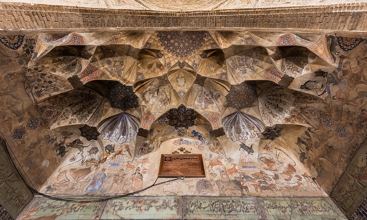
Under Shah Abbas I, Kerman was governed from 1596 by a Kurdish commander and close companion of the shah, Ganj Ali Khan. He used his long governorship to give the city a new centre: a rectangular square lined with shops, and around it a bathhouse, a caravanserai, a mint, a mosque, a cistern and a covered bazaar. Together they form the Ganjali Khan complex, the finest Safavid ensemble outside Isfahan.
The bathhouse, with its painted plaster and stone floors, is now a museum where wax figures show how a traditional hammâm was used. The mint holds a coin museum. Opening details are on the Ganjali Khan Complex page.
The bazaar runs for well over a kilometre from the Arg square in the west to the Mushtaq square in the east, joining the Ganjali Khan square and the Jameh Mosque on the way. Different sections still house coppersmiths, carpet dealers and spice sellers, and the traditional Vakil teahouse, in an old bathhouse, is a favourite stop.
The siege of 1794
Kerman’s darkest episode came at the end of the Zand dynasty. The last Zand ruler, Lotf Ali Khan, took refuge in Kerman, and in 1794 Agha Mohammad Khan Qajar besieged the city for months. When it fell, the Qajar ruler took terrible revenge on the inhabitants. Later accounts, including Sir John Malcolm’s History of Persia (1815), say that he demanded a heap of 20,000 pairs of eyes; the exact figure cannot be checked, but all sources agree that the punishment was savage and that many people were blinded, killed or enslaved. Lotf Ali Khan escaped to Bam, where he was betrayed and handed over.
The city took decades to recover. In the 19th century it revived as a centre of carpet weaving for export, and Kerman carpets, with their soft colours and floral patterns, became prized in Europe and America.
Carpets, pistachios and cumin
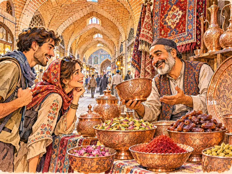
Kerman province produces most of Iran’s pistachios, especially around Rafsanjan to the west. The city is also known for cumin, so much so that the Persian proverb zire be Kermân bordan, “taking cumin to Kerman”, means doing something pointless, like taking coals to Newcastle. A local sweet called kolompe, a pastry filled with dates and spiced with cardamom, is sold in the bazaar.
The Moshtaghieh, a group of tiled domes near the bazaar, holds the grave of Moshtaq Ali Shah, an 18th-century Sufi musician who is said to have added the fourth string to the setar. It reflects the importance of Sufi orders in the province, also seen at the shrine of Shah Nematollah Vali in Mahan.
Gateway to the Lut and the south-east
Kerman is the base for some of Iran’s most striking landscapes and monuments:
- Mahan, with the shrine of the Sufi poet Shah Nematollah Vali and the terraced Qajar garden of Shazdeh, part of the UNESCO Persian Garden listing.
- Rayen, a mud-brick citadel similar in style to Bam’s and well preserved.
- Bam and the Arg-e Bam, being restored after the 2003 earthquake.
- The Kaluts of Shahdad and the Dasht-e Lut, a UNESCO World Heritage Site since 2016, where satellites have recorded some of the highest surface temperatures on Earth.
- Meymand, a village of homes cut into the rock, to the west.
Desert trips need a reliable local guide and vehicle; summer heat in the Lut is extreme.
Getting there and getting around
Kerman lies roughly 1,000 km south-east of Tehran by road. Its airport has flights to Tehran and other cities, and the city is on the railway from Tehran via Yazd towards Bam and Zahedan. Buses connect it with Yazd, Shiraz and Bandar Abbas. The historic centre along the bazaar is walkable; taxis are the easiest way to reach the Gonbad-e Jabalieh and the hill forts. Check current information with official sources, and read your own government’s travel advice, especially for the far south-east of the province.
Persian words from this page
| کرمان | Kermân | Kerman |
| گنجعلی خان | Ganj-Ali Khân | Ganj Ali Khan |
| حمام | hammâm | bathhouse |
| پسته | peste | pistachio |
| زیره | zire | cumin |
| قالی | qâli | carpet |
| کلمپه | kolompe | Kerman date pastry |
Sources and further reading
- Encyclopaedia Iranica, “Kerman” (history and monuments) and “Ganj-ʿAlī Khan”.
- Sir John Malcolm, The History of Persia (London, 1815), on the siege of 1794.
- C.E. Bosworth, The New Islamic Dynasties (Edinburgh University Press, 1996), for the Seljuks of Kerman and the Qutlugh-Khanids.
- UNESCO World Heritage Centre, Lut Desert.
- Statistical Centre of Iran, National Population and Housing Census 2016 (1395).
Want to learn Persian? Get the free Starter Pack
Get the 14-page printable Starter Pack (all 32 letters, a 7-day reading plan, 100 core words and 20 survival phrases) and a short 5-email course. Free.
More in Cities of Iran
- Tehran: Iran’s Capital
- Mashhad
- Isfahan
- Shiraz
- Tabriz
- Yazd
- Kashan
- Kerman
- Hamadan
- Qom
- Ahvaz
- Rasht
- Kermanshah
- Urmia
- Ardabil
- Zanjan
- Qazvin
- Sanandaj
- Khorramabad
- Bandar Abbas
- Bushehr
- Zahedan
- Birjand
- Gorgan
- Sari
- Semnan
- Arak
- Ilam
- Yasuj
- Shahr-e Kord
- Bojnurd
- Karaj
- Abadan and Khorramshahr
- Kish Island
- Qeshm Island
- Hormuz Island
- Masuleh
- Abyaneh
- Kandovan
- Bam
- Neyshabur (Nishapur)
- Shush (Susa) Today