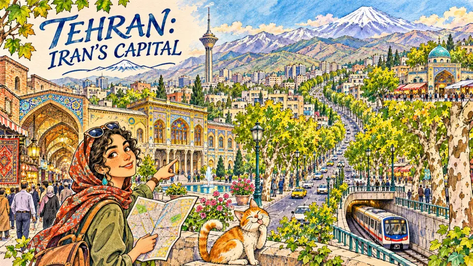
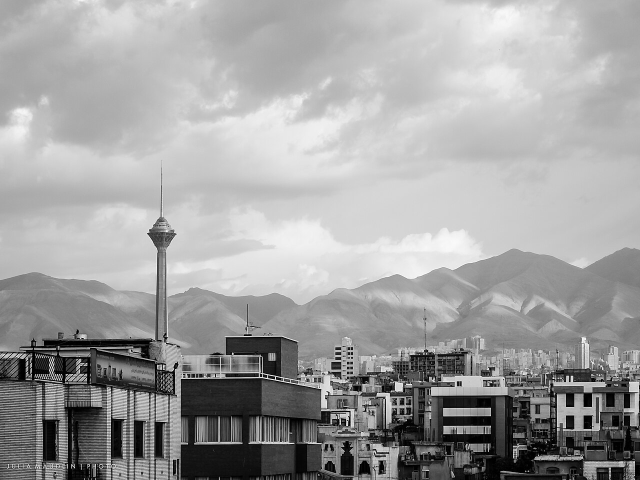
Tehran (تهران, Tehrân) is the capital and largest city of Iran, with 8,693,706 people in the city at the 2016 census and 13.27 million in Tehran province as a whole. It is a young capital by Iranian standards: Agha Mohammad Khan Qajar chose it in 1786, and almost everything visitors see today was built in the last 150 years.

| Persian name | تهران (Tehrân) |
|---|---|
| Province | Tehran |
| Population | 8,693,706 (city, 2016 census, Statistical Centre of Iran) |
| Capital since | 1786 (Qajar dynasty) |
| Elevation | Roughly 1,100 m in the south to about 1,800 m at the foot of the Alborz |
| Municipal districts | 22 |
| Main airports | Imam Khomeini International (international), Mehrabad (mostly domestic) |
From a village beside Rey to a royal capital
For most of history the important city here was Rey, a few kilometres to the south, one of the oldest continuously inhabited places on the Iranian plateau. Tehran was a village among its orchards, known to medieval geographers for its gardens and fruit and for houses partly dug underground. When the Mongols destroyed Rey in the 1220s, many survivors moved north, and Tehran slowly grew into a market town. The story of the older city is told in our post on the historic city of Rey, which is now part of Greater Tehran.
The Safavid shah Tahmasp I gave Tehran its first wall in 1553. Tradition says it had 114 towers, one for each sura of the Quran. The town now had a bazaar and a citadel (arg), but it was still a provincial place. Its fortunes changed when Agha Mohammad Khan, founder of the Qajar dynasty, made it his capital in 1786. Tehran was close to the Qajars’ tribal lands near Astarabad and the Caspian, and it sat on the road between the north and the old cities of the plateau. Read more in our page on Agha Mohammad Khan Qajar.
How the Qajars and Pahlavis rebuilt the city
Under Naser al-Din Shah (reigned 1848–1896) Tehran outgrew its Safavid wall. From the late 1860s a new octagonal wall and moat were laid out much further out, with twelve decorated gates. The shah’s court lived in the Golestan Palace inside the citadel, and the first modern college, the Dar al-Funun, opened nearby in 1851. Our post on the Golestan Palace covers the palace itself, now a UNESCO World Heritage Site.
Tehran was also where the politics of modern Iran were decided. Merchants and clerics took sanctuary (bast) during the Constitutional Revolution, the first Majlis met here in 1906, and in 1909 constitutionalist forces from Gilan and Isfahan took the city.
Reza Shah (reigned 1925–1941) demolished the Qajar walls and gates in the 1930s and cut wide, straight avenues through the old fabric. He built ministries, the University of Tehran (inaugurated 1934) and the main railway station on the Trans-Iranian Railway. His son Mohammad Reza Shah oversaw explosive growth from the 1950s to the 1970s, when migrants from the provinces doubled and redoubled the population. The Shahyad monument, renamed the Azadi Tower after 1979, was completed in 1971 for the celebrations of 2,500 years of monarchy. The reforms of Reza Shah explain much of the city’s modern shape.
North and south: reading the map
Tehran slopes. The ground rises steadily from the dry plain in the south to the foot of the Alborz in the north, and the city’s social geography follows the slope. Iranians speak of bâlâ-ye shahr (“up town”) and pâyin-e shahr (“down town”), and the phrases carry clear meanings about money and lifestyle.
The old centre and the south
The historic core lies around the Grand Bazaar, the Golestan Palace and Imam Khomeini Square (the old Tupkhaneh, or artillery square). This is the busiest, most crowded part of Tehran, a maze of wholesale trades, caravanserais and mosques. South of it are working-class districts and, further out, Shahr-e Rey with the shrine of Shah Abdol-Azim. See our post on the Tehran Bazaar and the page on the Tehran Grand Bazaar.
The middle city
Between the bazaar and the northern suburbs are the districts built under the Pahlavis: Laleh-Zar, once the street of cinemas and theatres; the government quarter; the embassies; and the leafy grid around Laleh Park and the University of Tehran. The National Museum of Iran, the Glass and Ceramics Museum, the Carpet Museum and the Museum of Contemporary Art are all in this belt.
Shemiran and the north
Shemiran (شمیران) was a ring of summer villages where the Qajar elite escaped the heat. Today it is the city’s most expensive area, centred on Tajrish with its bazaar and the shrine of Imamzadeh Saleh. The Sa’dabad and Niavaran palace complexes are here, and paths lead up into the mountains at Darband and Darakeh. Our guides to the Sa’dabad Complex and Darband cover them in detail.
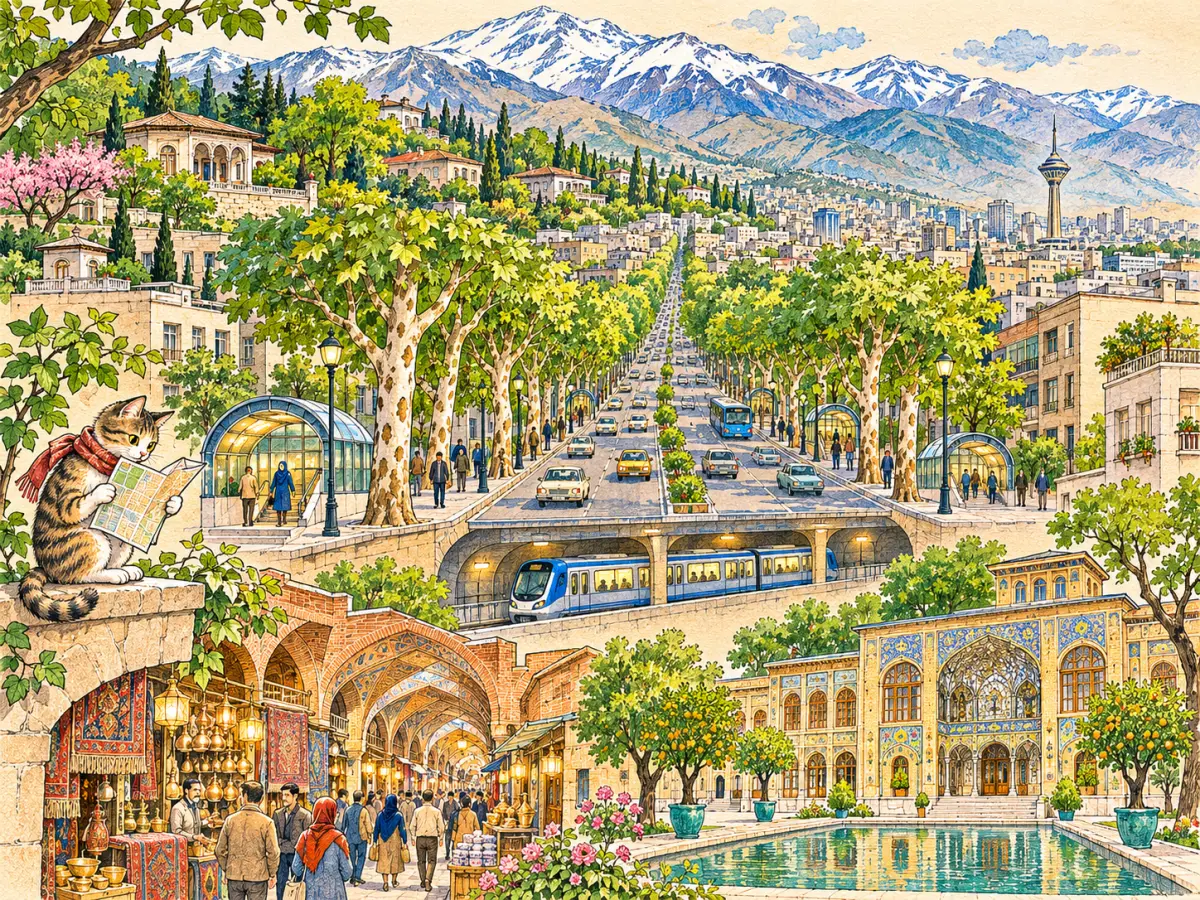
Holding the whole city together is Valiasr Street, about 18 km long, lined with plane trees and running from the railway station in the south up to Tajrish. It was laid out under Reza Shah and has changed names with each political era.
Museums and sights in brief
Tehran holds the country’s main collections. Three stand out for anyone interested in Iranian history:
- The National Museum of Iran: prehistoric pottery, Achaemenid reliefs from Persepolis and the Islamic-era collections.
- The Treasury of National Jewels, in the vaults of the Central Bank: the Darya-e Noor diamond, the Naderi Throne and the jewelled globe.
- The Golestan Palace, the Qajar court in the old citadel.
For a longer list of what to see, from Milad Tower (435 m, opened in 2007) to Nature Bridge, read our post on the best places to visit in Tehran.
Getting to Tehran
Most international flights land at Imam Khomeini International Airport, which opened in 2004 well to the south-west of the city. Mehrabad Airport, inside the city to the west, handles most domestic flights. The central railway station on Rah-Ahan Square has trains to Mashhad, Isfahan, Shiraz, Tabriz, Yazd, Kerman and the Caspian. Long-distance buses use four main terminals, each roughly named after the direction it serves: South (Jonub), West (Azadi), East (Shargh) and Beyhaghi in the north-east.
Check the current rules on visas, flights and entry with official sources before you plan, and follow your own government’s travel advice for safety.
Getting around the city
Traffic is heavy at most hours, so the metro is usually the fastest way to cross the city. The first lines opened in 1999, and the network now reaches the airports of Mehrabad and Imam Khomeini, the bazaar and Tajrish. Our post on the Tehran Metro explains how it works. Buses, including a bus rapid transit (BRT) line along major avenues, and ride-hailing apps fill the gaps. The centre has a traffic-restriction zone for private cars.
Air quality is a real issue, especially in winter when temperature inversions trap smog under the mountains; schools and offices are sometimes closed on the worst days. Spring and autumn are the most comfortable seasons. On clear days you can see Mount Damavand to the east, described in our post on Damavand, and the cable car to Tochal climbs from the northern edge of the city.
Persian words from this page
| تهران | Tehrân | Tehran |
| شمیران | Shemirân | Shemiran, the northern district |
| بازار | bâzâr | bazaar, market |
| ارگ | arg | citadel |
| بالای شهر | bâlâ-ye shahr | uptown (literally “top of the city”) |
| پایین شهر | pâyin-e shahr | downtown, the poorer south |
| میدان | meydân | square |
| خیابان | khiyâbân | street, avenue |
Sources and further reading
- Encyclopaedia Iranica, “Tehran” (multi-part article on history, historical geography and urban development).
- Ali Madanipour, Tehran: The Making of a Metropolis (Wiley, 1998).
- Abbas Amanat, Iran: A Modern History (Yale University Press, 2017).
- Statistical Centre of Iran, National Population and Housing Census 2016 (1395).
- UNESCO World Heritage Centre, Golestan Palace.
Want to learn Persian? Get the free Starter Pack
Get the 14-page printable Starter Pack (all 32 letters, a 7-day reading plan, 100 core words and 20 survival phrases) and a short 5-email course. Free.
More in Cities of Iran
- Tehran: Iran’s Capital
- Mashhad
- Isfahan
- Shiraz
- Tabriz
- Yazd
- Kashan
- Kerman
- Hamadan
- Qom
- Ahvaz
- Rasht
- Kermanshah
- Urmia
- Ardabil
- Zanjan
- Qazvin
- Sanandaj
- Khorramabad
- Bandar Abbas
- Bushehr
- Zahedan
- Birjand
- Gorgan
- Sari
- Semnan
- Arak
- Ilam
- Yasuj
- Shahr-e Kord
- Bojnurd
- Karaj
- Abadan and Khorramshahr
- Kish Island
- Qeshm Island
- Hormuz Island
- Masuleh
- Abyaneh
- Kandovan
- Bam
- Neyshabur (Nishapur)
- Shush (Susa) Today